An integrated living system of a traditional
Ayu Tri Prestasia and Boomi Kim
Sundanese hamlet in West Java, Indonesia.
2019
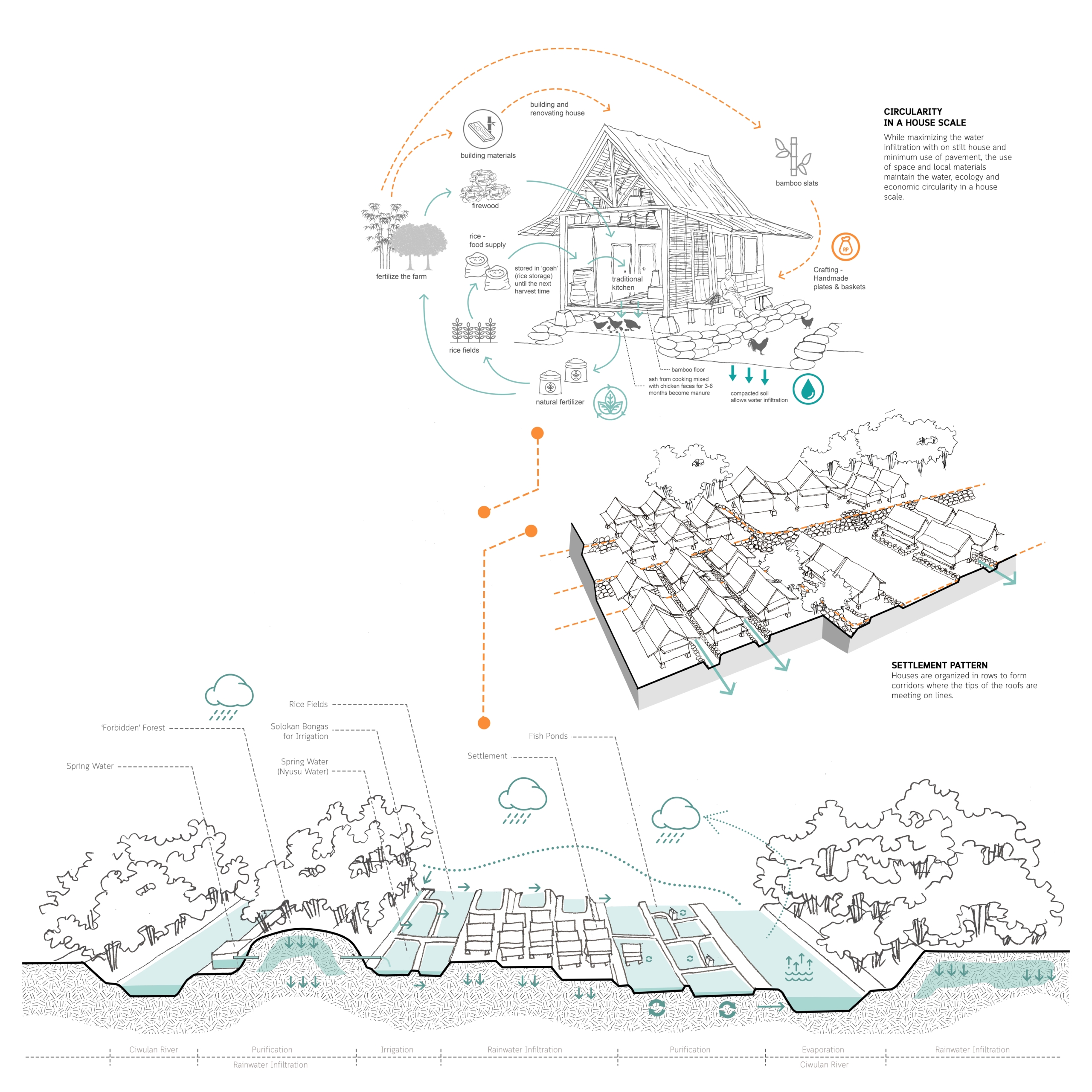
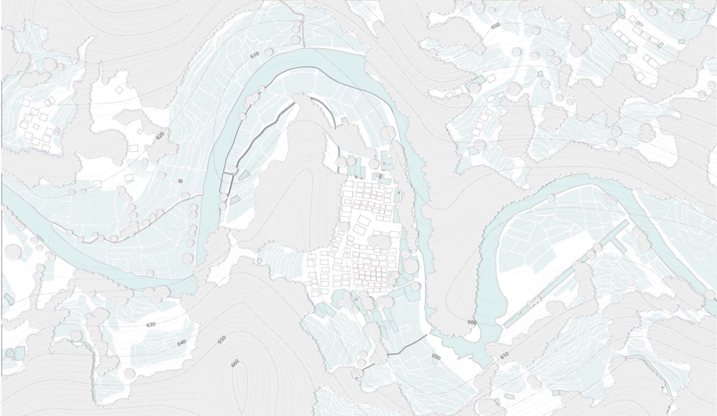
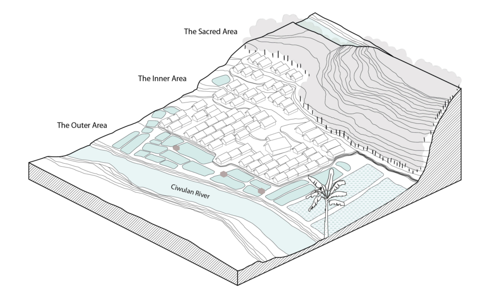
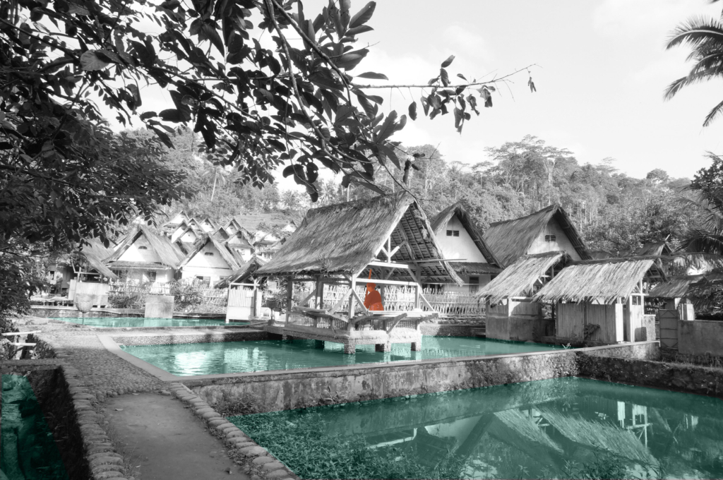
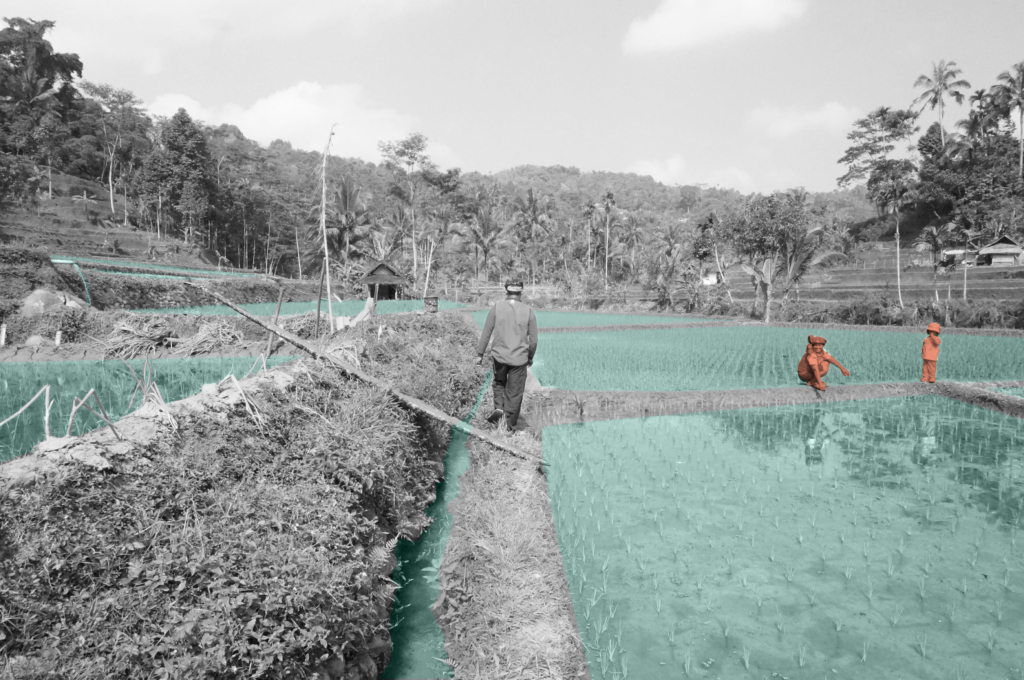
The spatial organization of Kampung Naga is influenced by its location on the valley. The topographical characteristics of the site defines the vertical zonation of the hamlet, which is closely related to the utilization of the landscape into the water management system.
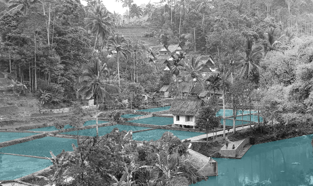
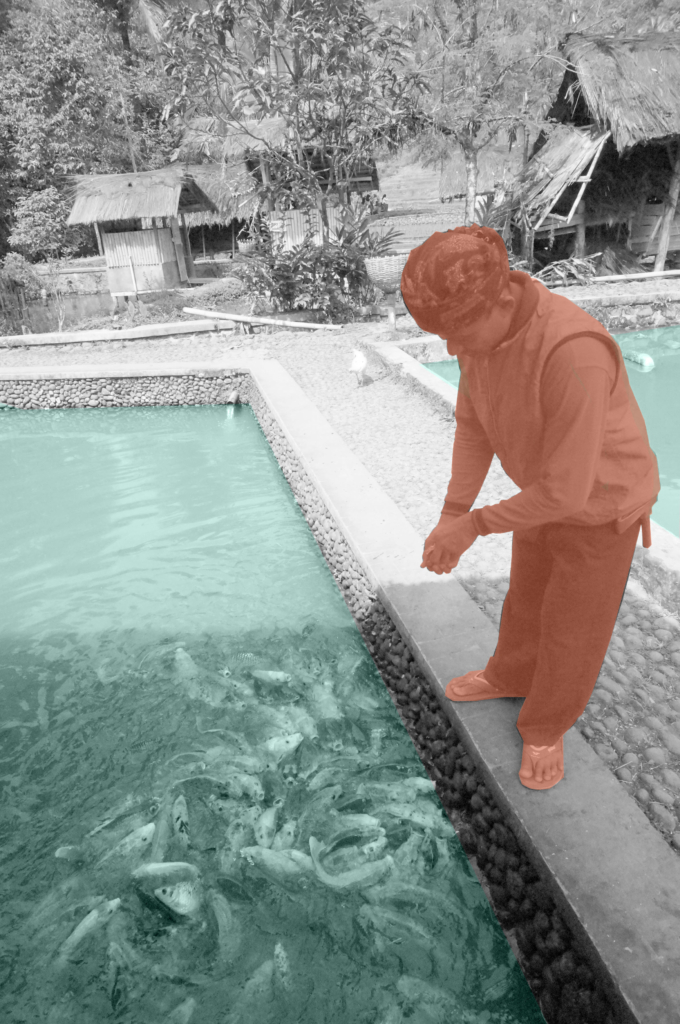
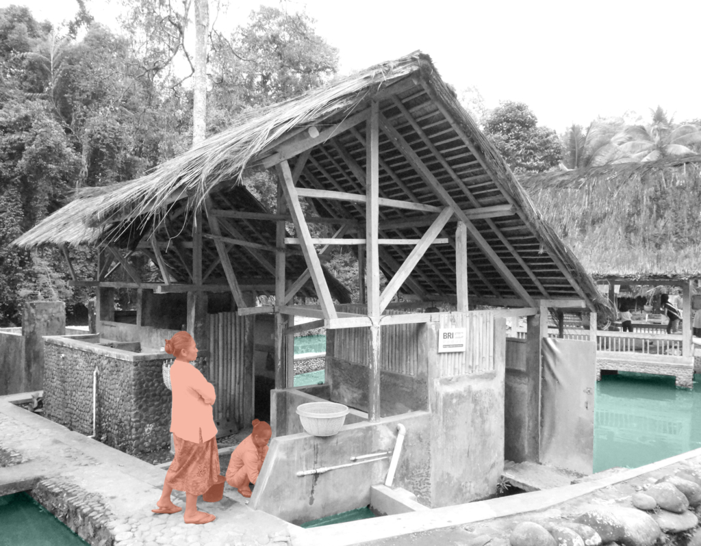
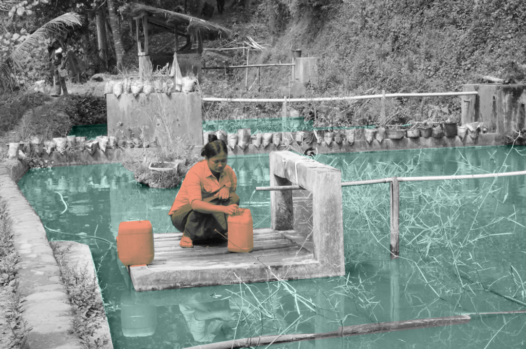
Based on its spatial relation to the settlement area, Kampung Naga can be divided into 3 distinctive zones. The “forbidden forest”, the Sacred Area, is preserved at the top of the composition to infiltrate, filter and store the water through its roots. The settlement area, the Inner Area, is located in the middle with terraced soils following its natural topography. At the lowest level, the Outer Area, fish pond system become the location where almost all the water-related activities take place. Bamboo fences are used as the boundary of the settlement area which at the same time clearly separates these three zones.
Kampung Naga maintains the traditional living with nature amidst modernity that develops around the area. No new technology such as the use of electricity and related devices is allowed in the hamlet. The boundary of Kampung Naga is strictly preserved to balance the number of people whose lives can be supported by the food supply and the ability to manage the wastewater inside the village. While maintaining the number of people who live inside, the rest of the family members can live outside the village.
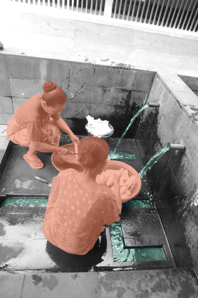
Although almost all water-related activities are located on the Outer Area, water is treated as a major part of their lives. People keep its space to “breathe”, use it wisely, and purify the wastewater before finally being returned to its original place. Centralization of the activities are designed as an integrated system of water and ecological cycle.
Circular Stories
Nature works in circular systems. Living with nature, people in Kampung Naga believe that they need to understand thoroughly and preserve this circularity. Water, as one of the main resources of lives, is used wisely to maintain its circularity. The three water sources which are located on the higher parts of the topography are kept clean free from any activities that could contaminate the water quality. People are forbidden to cut trees in the forest on the hill to maintain its ability to absorb and purify the rainwater to the ground water table. In this case, myth and tradition are used by the community as rules that have to be obeyed. After the water is used for daily activities, it is purified by fishpond systems before finally being returned to the river.
