The world’s most extensive medieval sacred water management network of the ancient Kmer Empire.
Krit Thienvutichai
2019
Angkor Wat is one of the most important archaelogical sites in Southeast Asia. WIth impressive monuments, several different ancient urban plans and large water reservoirs, the site is a unique concentration of features testifying to an exceptional civilization (UNESCO).

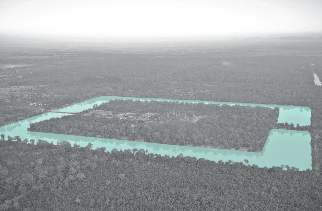
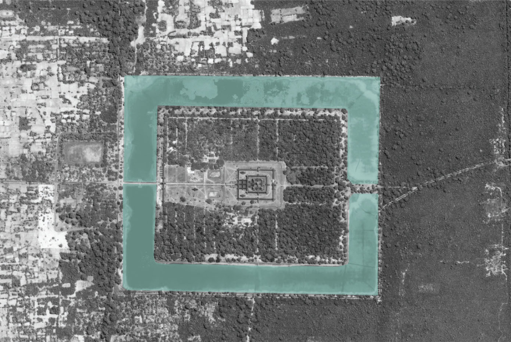
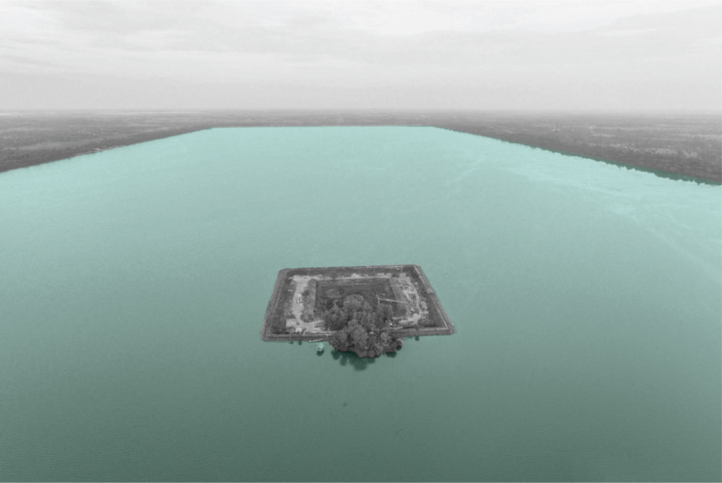
The hydraulic city was classified into three principle zones, with their topographic conditions of hydrogeology and elevation, functioned as one large system to supply the whole region. In the collector zone, the water was taken from natural rivers. In the aggregator and collector zones, water was stored mainly in the earthen embankments of barays, temple moats and small reservoirs.
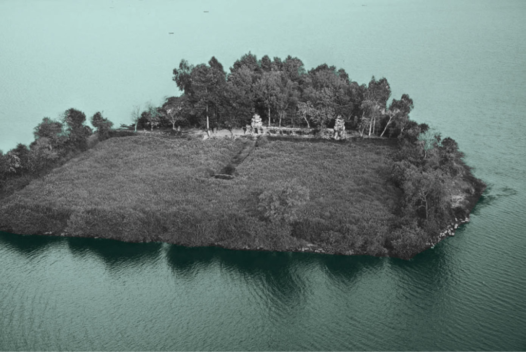
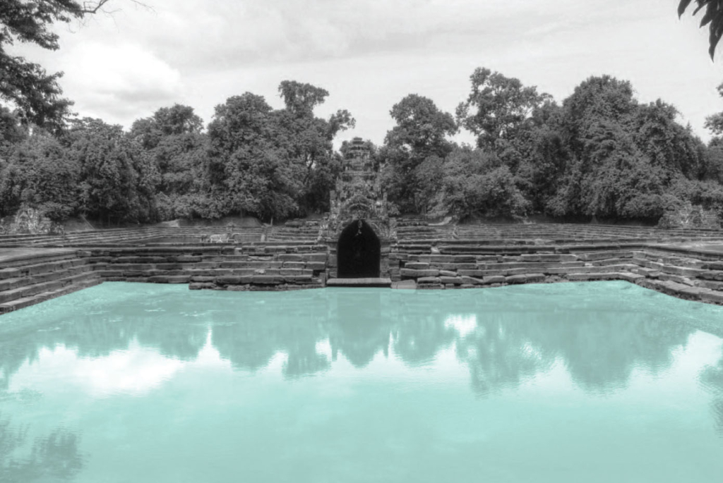
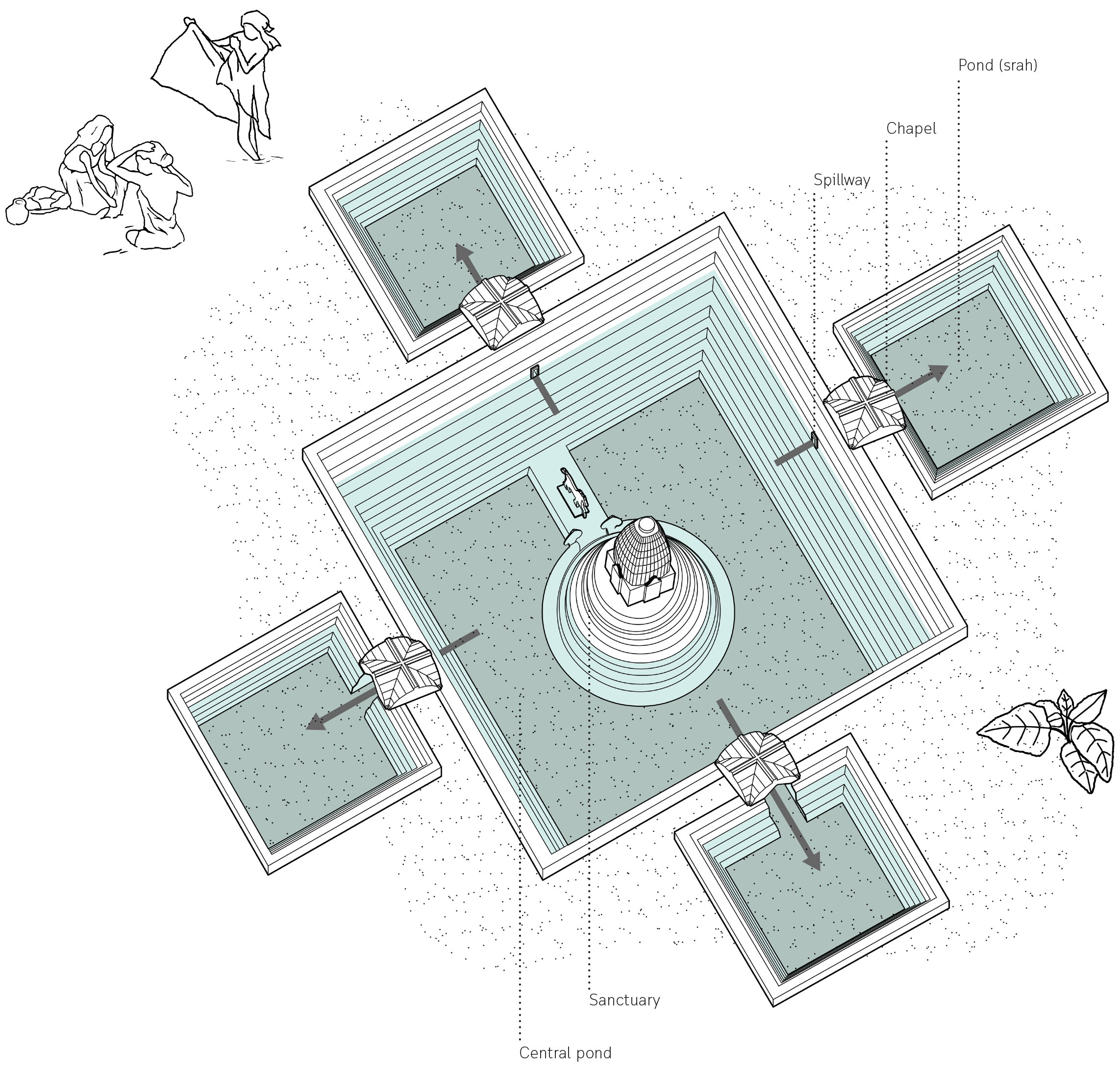
The temple island of Naek Pean used to function as a hospital. The central pond symbolizes a mythical lake in the Himalayas whose water is thought to cure all illness. The water overflows from the central pond through chapels to fill up four small ponds with healing water. The ancient Khmers may have believed that bathing in its successive ponds would have restore balance within the body and cured illness or at least washed away sin.