Man-made streams serving economic purposes, power factories via watermills.
Yunshu Jiang
2022
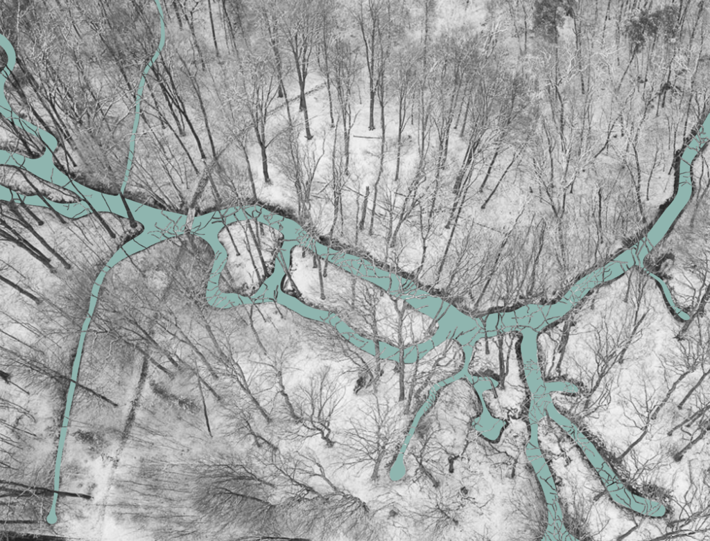
The Sprengenbeek system in this context refers to the manmade streams in the Veluwe region of the Netherlands. A sprengenbeek is a stream that has been dug or deepened to bring in additional groundwater. Most streams were built to drive watermills, but they were
also built to supply water to moats, canals, or other waterworks. The Sprengenbeek System has been extensively excavated in the Veluwe region since the 17th century. They are present more intensively in the steeper eastern and southern flanks of the Veluwe.
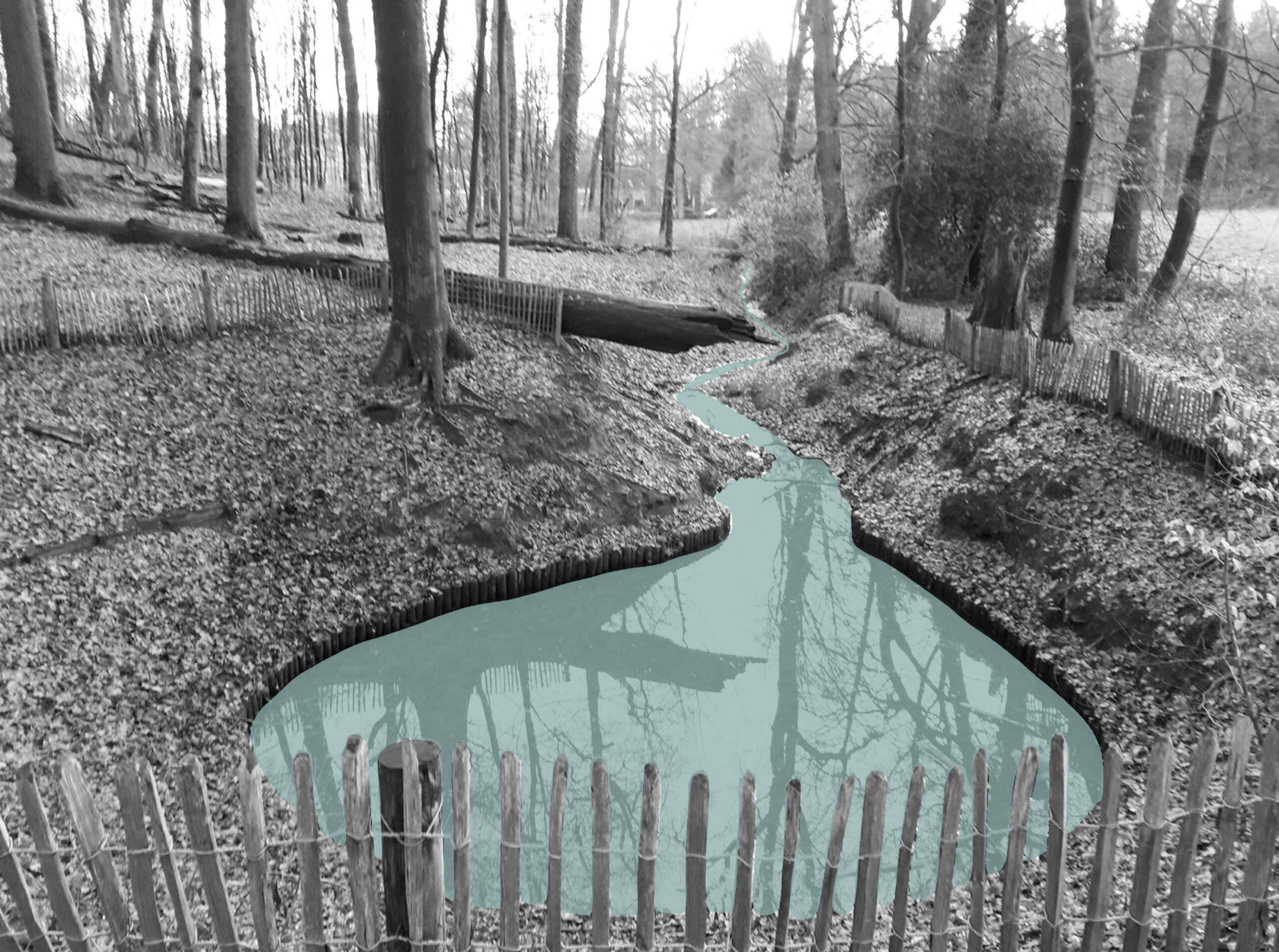
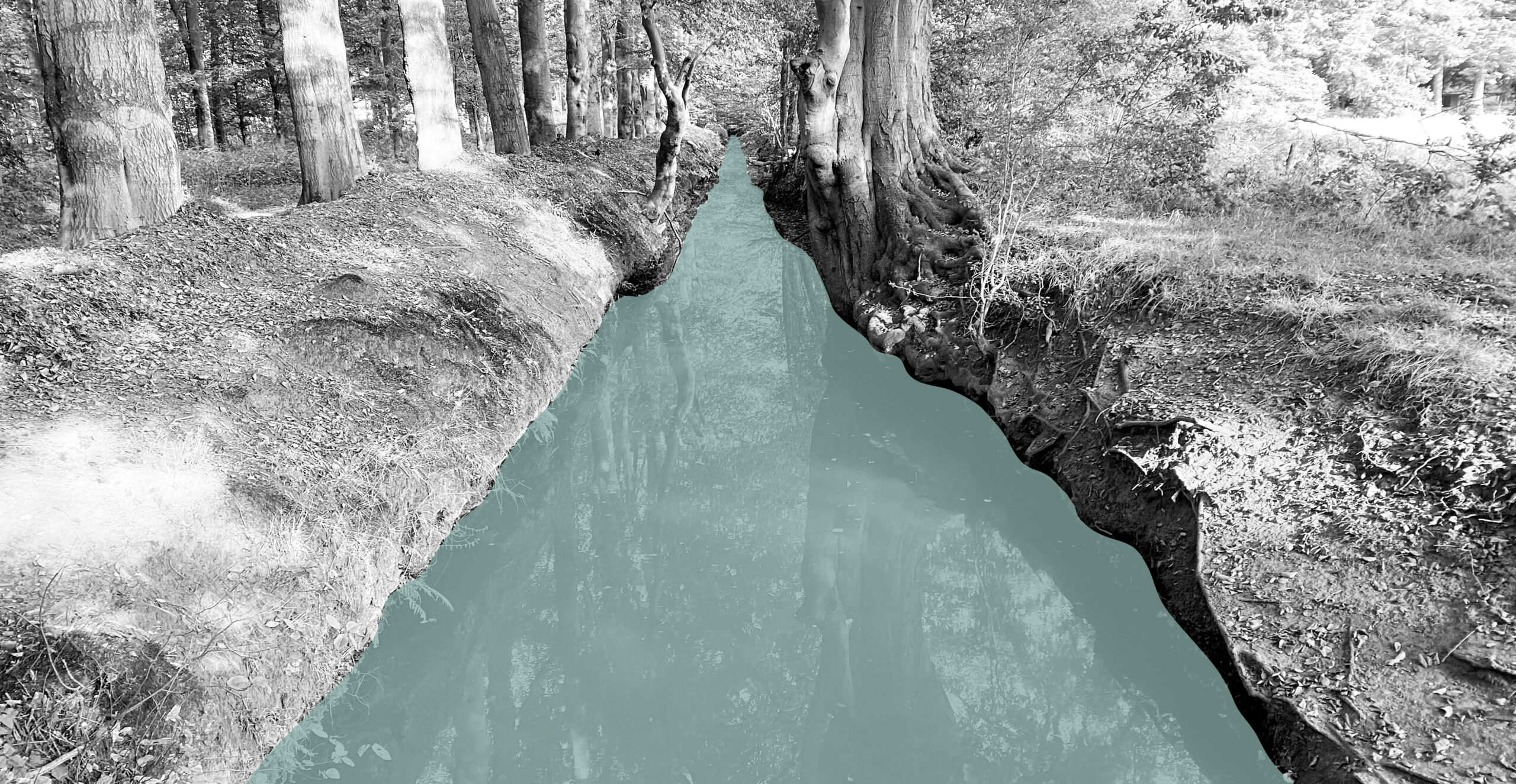
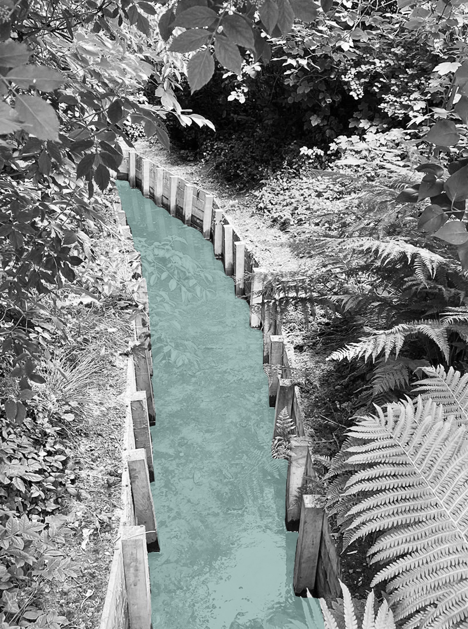
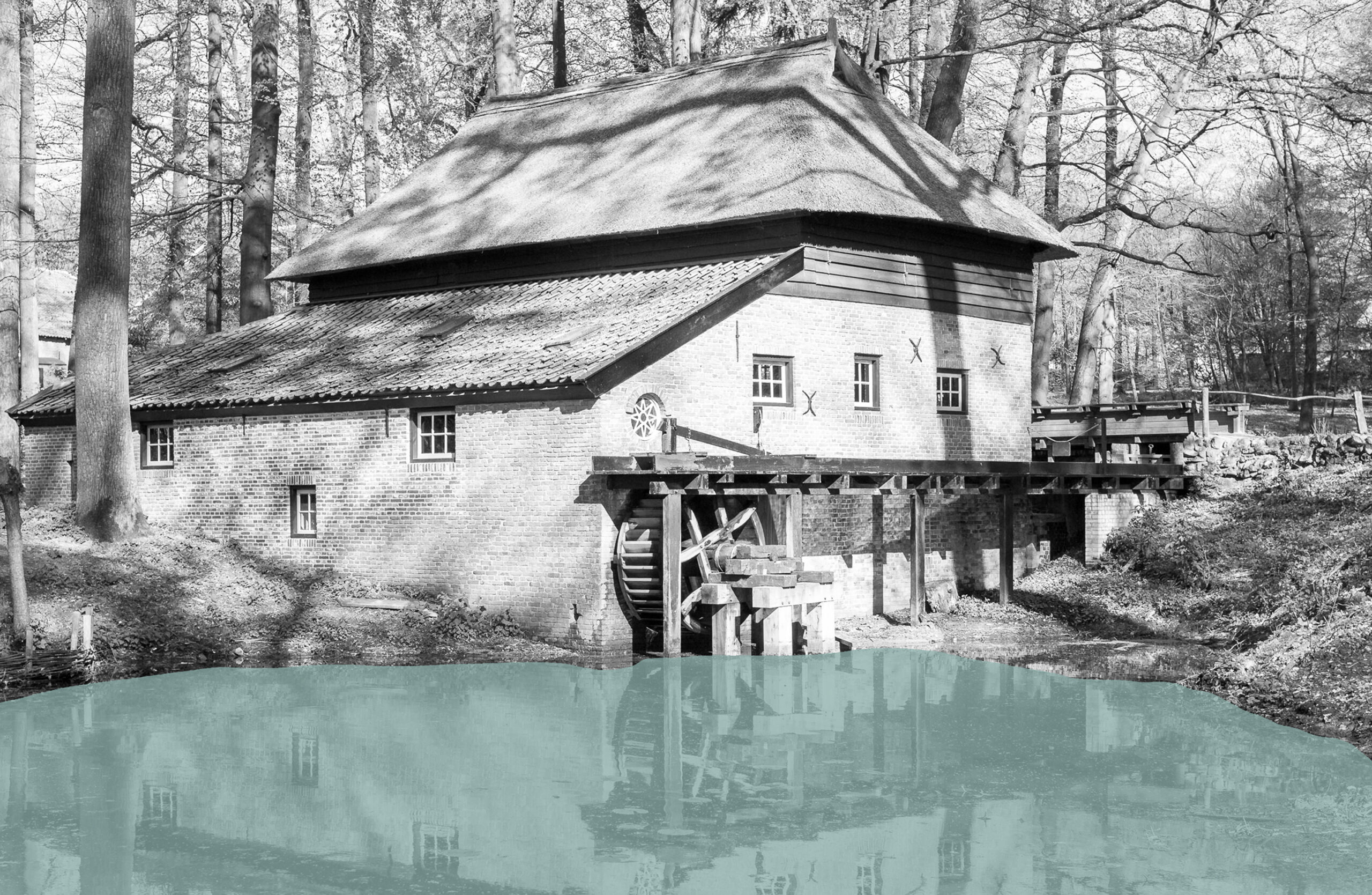
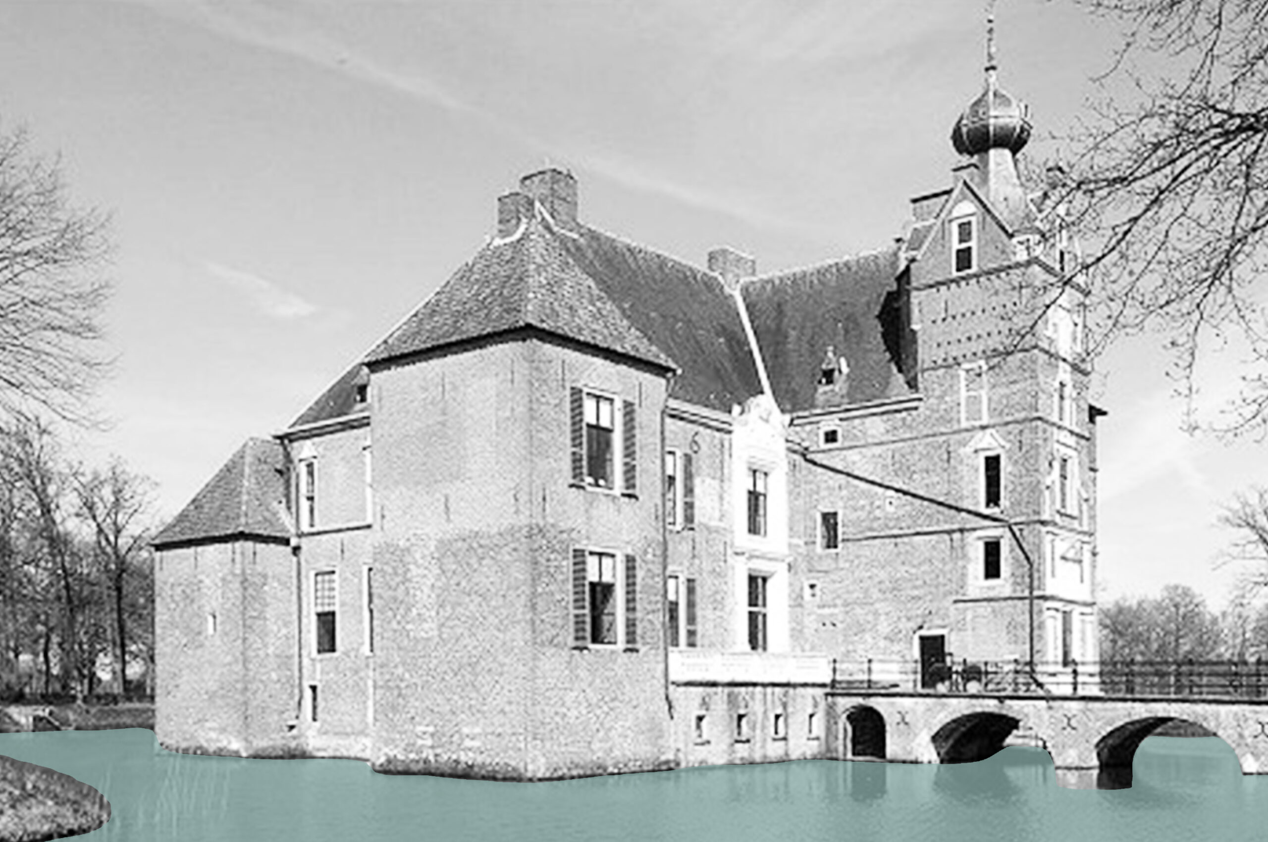
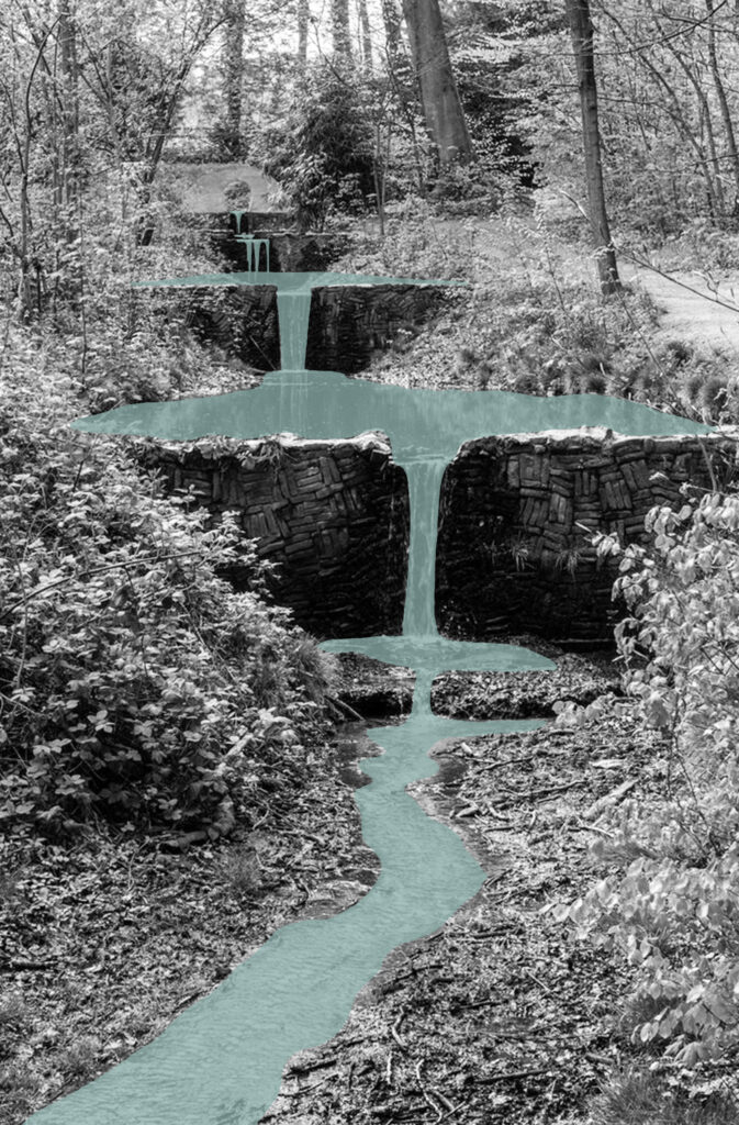
In order to get water to the surface, the landscape was manipulated by man in such a way that streams were led to watermills to enable the propulsion of watermill. Therefore, the stream from the sprengenheads to the lower channel is connected by different parts. For example, a sprengenheads (sometimes dozens), stream embankments, ditches, mill gutter and lower channels are part of the system, integrated into the landscape and making optimal use of the landscape contours. Water is a characteristic part of the landscape around castles and estates. Good water management was essential for the functioning of moats and, later, of gardens. Thanks to the Sprengenbeek, castles and estates in the Veluwe had a constant supply of clean water. And because of the differences in height, the stream could also be used for spectacular waterfalls and
fountains.
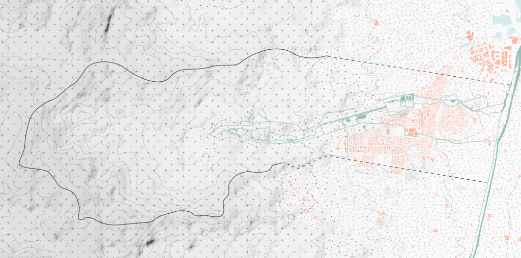
The Vaassen’s sprengenbeek system is located on the eastern flank of the Veluwe. The Vaassen villages are located on the transition from the higher to the lower grounds. The surrounding landscape includes forests, country estates, built-up areas and agricultural areas, covering almost all samples of the surrounding landscape of sprengenbeek. Further west we find hamlets, consisting of camp reclamations and fairly scattered farms, as
culture islands in the midst of moors and forests. An example can be found in the upstream part of the stream system near Niersen.
Circular Stories
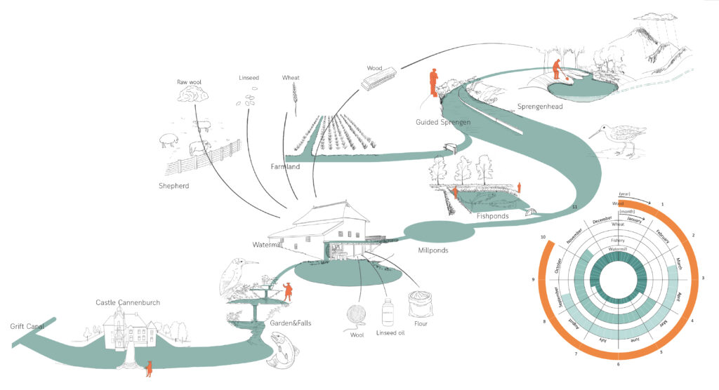
This image explains the circularity of the Sprengenbeek system from the source to the import of the Grift canal. The core role of Sprengenbeek is for production, such as
water-driven water mills, as well as irrigation and feed fish farms. And different works run with different cyclical processes and time scales. The water mill is working all year round, but they have different working hours during dry and rainy seasons. Paper and laundry mills worked continuously throughout the winter, while in drier periods of spring and summer they would have to stow the water in the pons overnight to use it during the day.
Fish breed from May until winter. For maximum profit, fish ponds are generally located upstream where the water is sufficiently clean. Sometimes the owner of watermills also
uses the ponds in front of the mills to harvest fish. In this way, the water from the fish pond can also be used to drive the watermill. Wheat is sown in spring, and in the winter, after the harvest, the water from the fish ponds are released to drive the water mill‘s by-products processing. The production forest near sprengenkop provide shade for water and also provides wood for the maintenance of the mill, with a ten-year cycle.