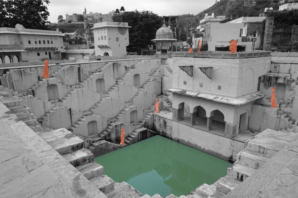
Stepwells of Jaipur

Atmosphere of the stepwells.

Exploring into the ancient water wisdom of Jaipur Rajasthan, India.

Anubhuti Chandna
2019

Jaipur is one of the first planned city of northern India based on the principles of “Shilpa Shastra”, in fact “Jaipur clearly represents a dramatic departure from extant medieval cities with its ordered, grid-like structure – broad streets, criss-crossing at right anglese, earmarked sites for buildings, palaces, havelis, temples and gardens, neighbourhoods designated for caste and occupation” (UNESCO, 2015).

During the planning of the city, special attention was given to the water supply system. With half of the city surrounded by the hills, the city took advantage of various rain catchment areas that were available for storage direct response to local geophysical conditions.
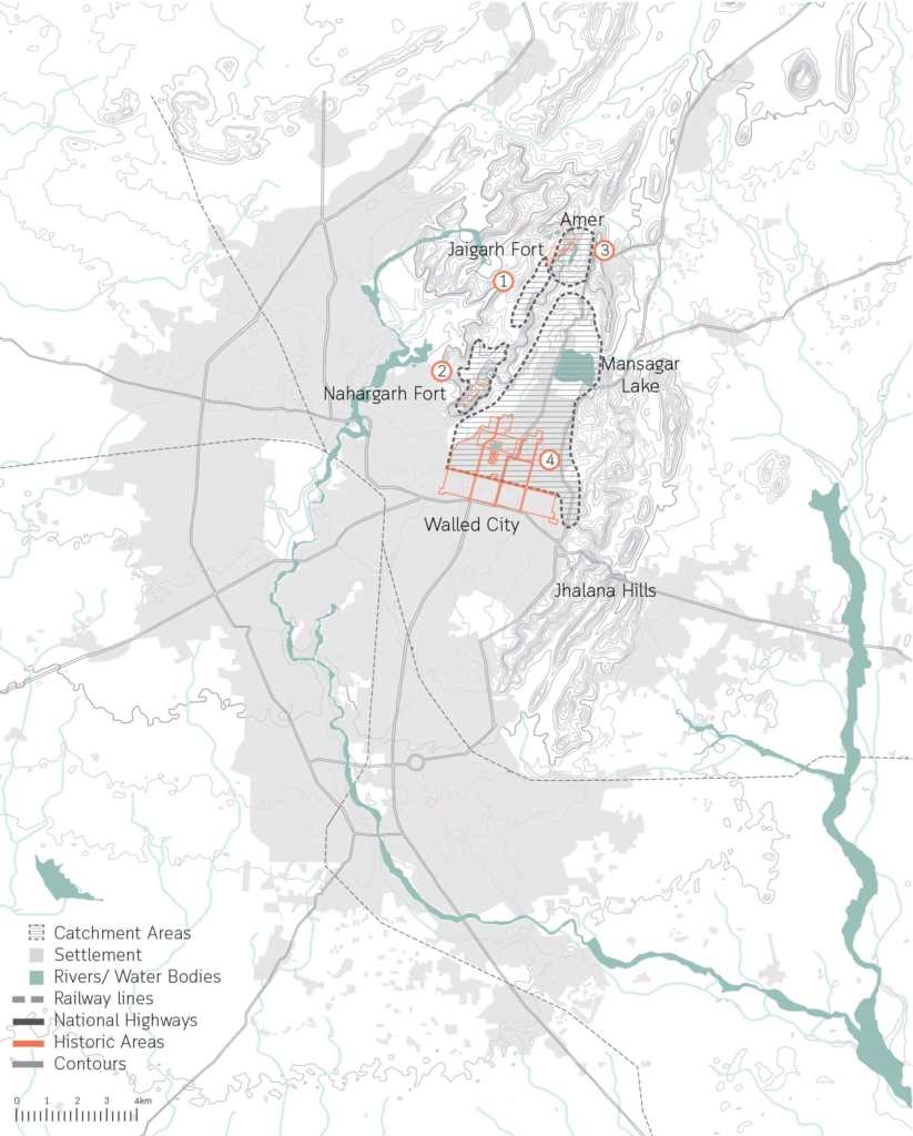
Catchment areas of the different systems in the city of Jaipur.

The ruler built 16 miles long canals from the nearby river streams and brought water to the city through aqueducts, As the city grew with increased demand for water, a dam across the river of Dhravyavati was constructed in 1844 along with a canal which runs east to west of the city, wide enough for 5-7 horsemen to ride abreast. This covered canal would then distribute the water through various channels and wells across the city and open at some places for direct access. However, after the construction of the metalled roads and new pipe system of supply, the canal got buried within the markets and its deep walls got filled up.

5 typologies of stepwells in Amber.

Water has a special significance in Hindu mythology, believed to be as a boundary between heaven and earth. For centuries, stepwells and stepped ponds, also known as Bavdis, Bawadis, Baolis or Vavs, have not just played a significant role in functioning as traditional water systems, serving the community through generations but also as hotspots of social, cultural and touristic interactions. “While various water structures such as tanks, cisterns, paved stairways along rivers (ghats) and cylindrical wells are found elsewhere in India, stepwells and stepped ponds are indigenous to semi-arid regions of Gujarat and Rajasthan” (Livingston & Beach, 2002).
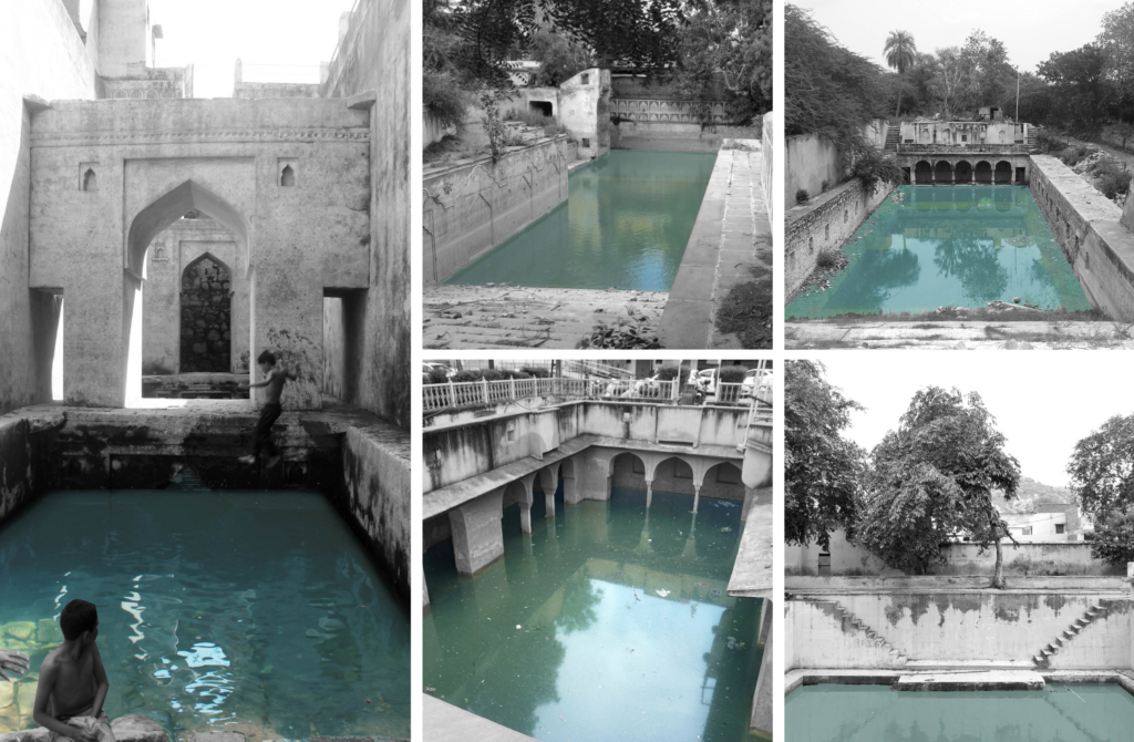
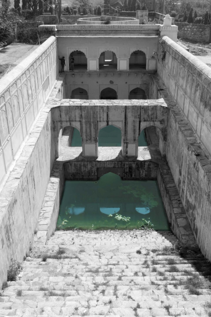
Clockwise. Typology 2, Cheela Bawadi; Typology 1, Atreya Bawadi; Typology 3, Sarai Bawadi; Typology 4, Bengali Baba ki Bawadi; Typology 5, Parshuram Dwar ki Bawadi.
Tattar ki Bawadi in Amber.

Delhi Sultanate Waterworks

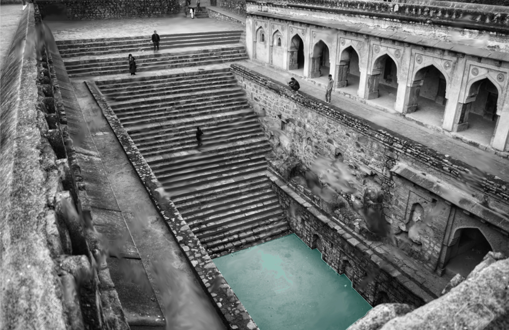
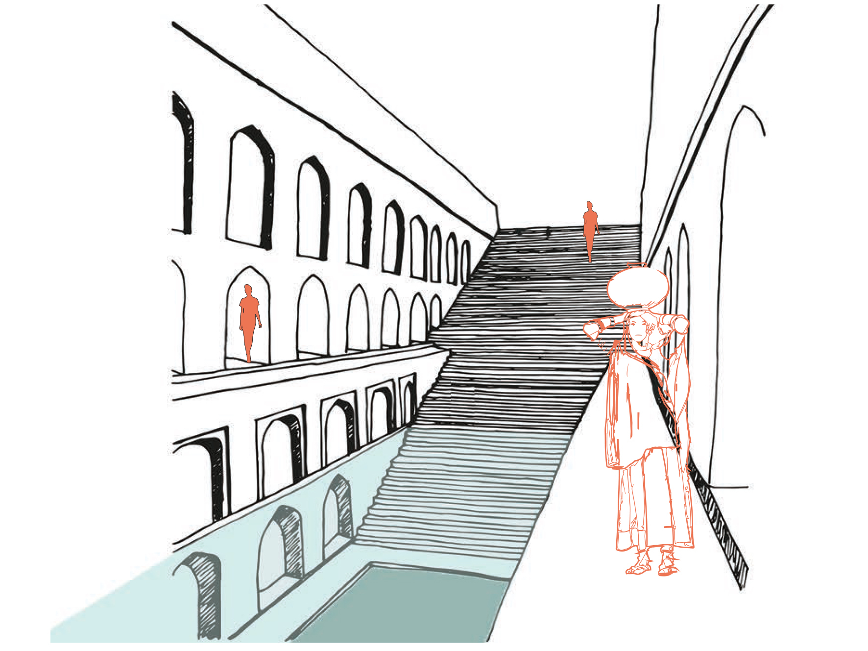
Typical Baoli stepwell atmosphere.

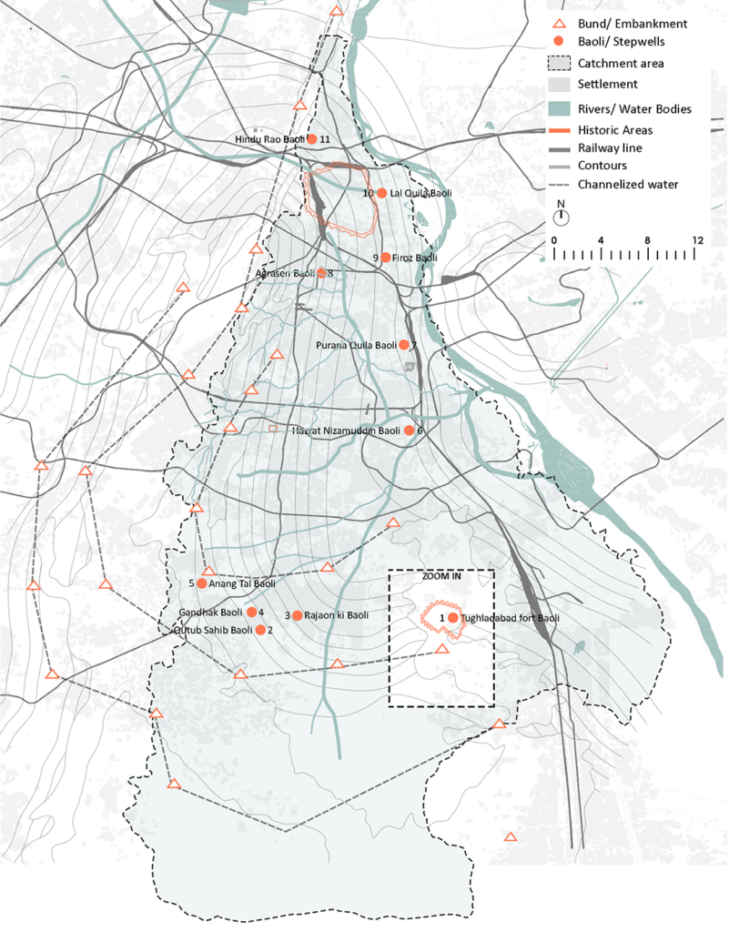
Ancient network of water harvesting
structures in Delhi, India.

Tanvi Gupta
2020

Delhi is located in the Northern part of India being continuously inhabited since the 6th century B.C. Through most of its history, Delhi has served as the capital of various kingdoms, most notably the Delhi Sultanate and Mughal empire. Two prominent features of the geography of Delhi are the Yamuna floodplains and the Delhi ridge.

Delhiā€™s urban waterworks developed in early thirteenth century. They took the following main forms of hauz (water tank), baoli (stepwell) and bund (embankment). Collectively these small structures served the sultanate capitals of South Western Delhi. As with other ancient and medieval water systems, they were incremental and coordinated. Urban lakes, tanks and reservoirs were sited in gently sloping areas adjacent to hillside water control structures.

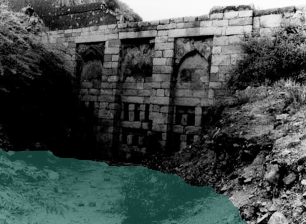
Bund network along Delhi Ridge.

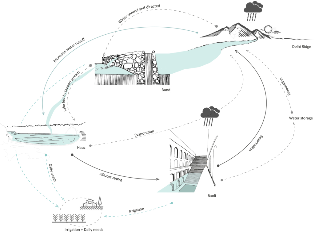
Delhi sultanate waterworks developed during the early 13th century. They took three main forms – the bund network (embankment), hauz (water tank), and baoli (stepwell). These reflect the main strategies of the Delhi Sultanate water works – the bund network helps in directing and capturing the runoff from the ridge, the hauz stores the surplus monsoon surface water runoff and recharges groundwater while the baolis tap into the shallow groundwater along with storing rainwater.

Circular Stories

Circularity of the Delhi Sultanate Waterworks system.

Delhi Sultanate waterworks or harvesting structures were well coordinated with one another, each structure supporting the existence of the other. The bunds, the royal tanks called hauz and the baoli storage structures aided water evaporation and condensation into the atmosphere which again would be captured in the ridge landscape during monsoon.

Today, these water structures lie in a dilapidated state with some having been restored for heritage and tourism purposes. Thus, it is important to learn from past methods of harvesting water to overcome the hydrological problems Delhi is facing today.

The Roman Aqueducts

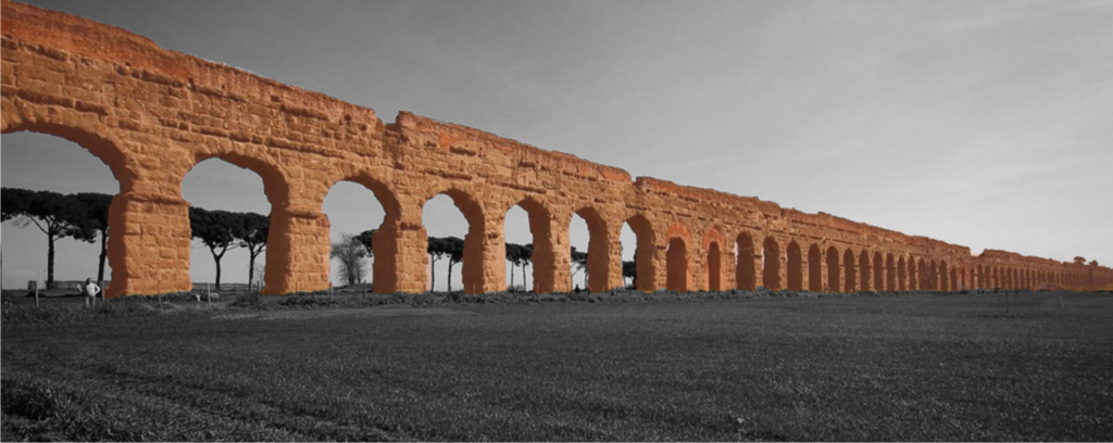
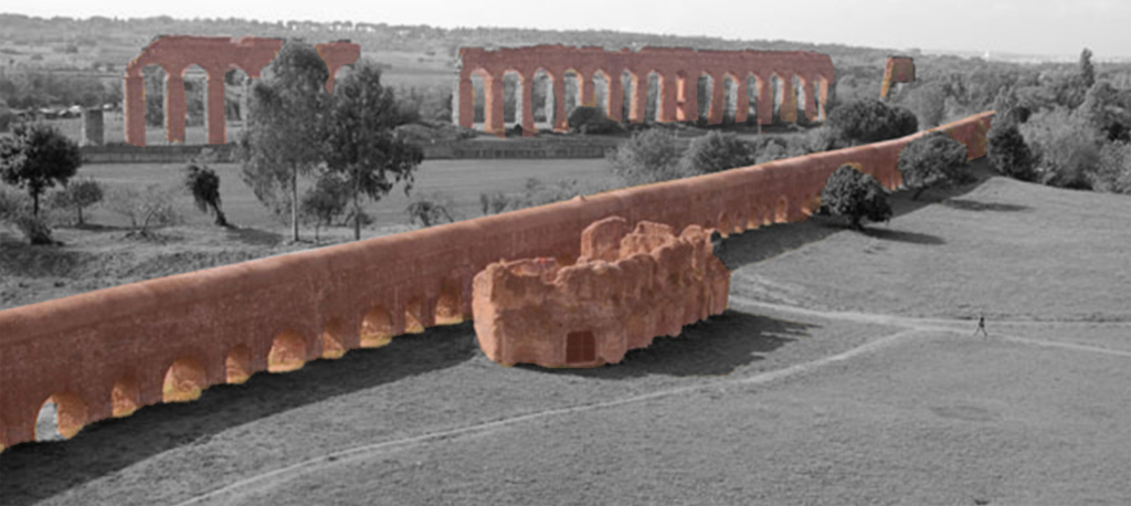
Aqua Claudia, Parco degli Acquedotti, Rome.

A system of pipes, canals, and supporting structures used to convey water from its source to its main distribution point.

Camilla Di Nicola
2020

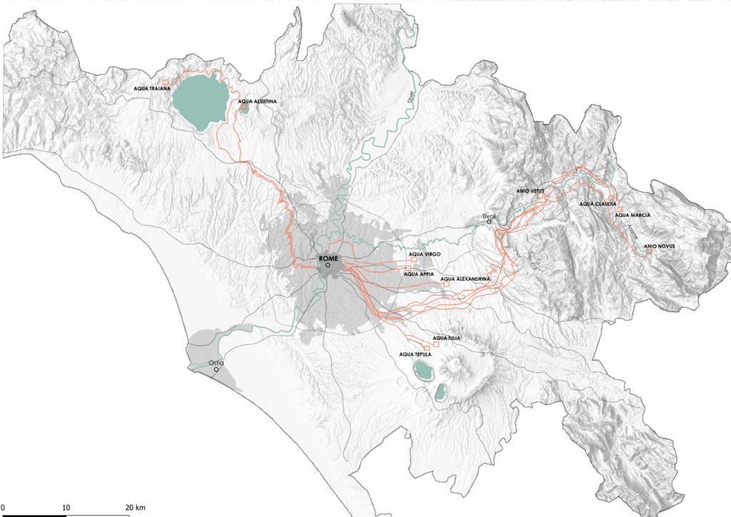
The Roman Aqueduct systems were built over a period of about 500 years, from 312 B.C. to A.D. 226. Both public and private funds paid for construction. The city of Rome had around 11 aqueduct systems supplying freshwater from sources as far as 92 km away.

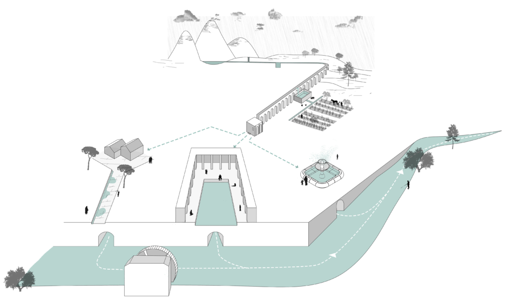
The aqueducts were made from a series of pipes, tunnels, canals, and bridges. Gravity and the natural slope of the land allowed aqueducts to channel water from a freshwater source, such as a lake or underground springs, to a city. As water flowed into the cities, it was used for drinking, irrigation, and to supply hundreds of public fountains and baths. The principle was relatively simple: pure and abundant sources in the hills around Rome could be tapped, and their waters diverted into artificial channels running gently towards the city on a gradient designed to deliver them at a useful height, to flow around the city and feed street fountains, baths, and (for a fee) private houses.

Map of the aqueducts in the Municipality of Rome, from the countryside to the city center.

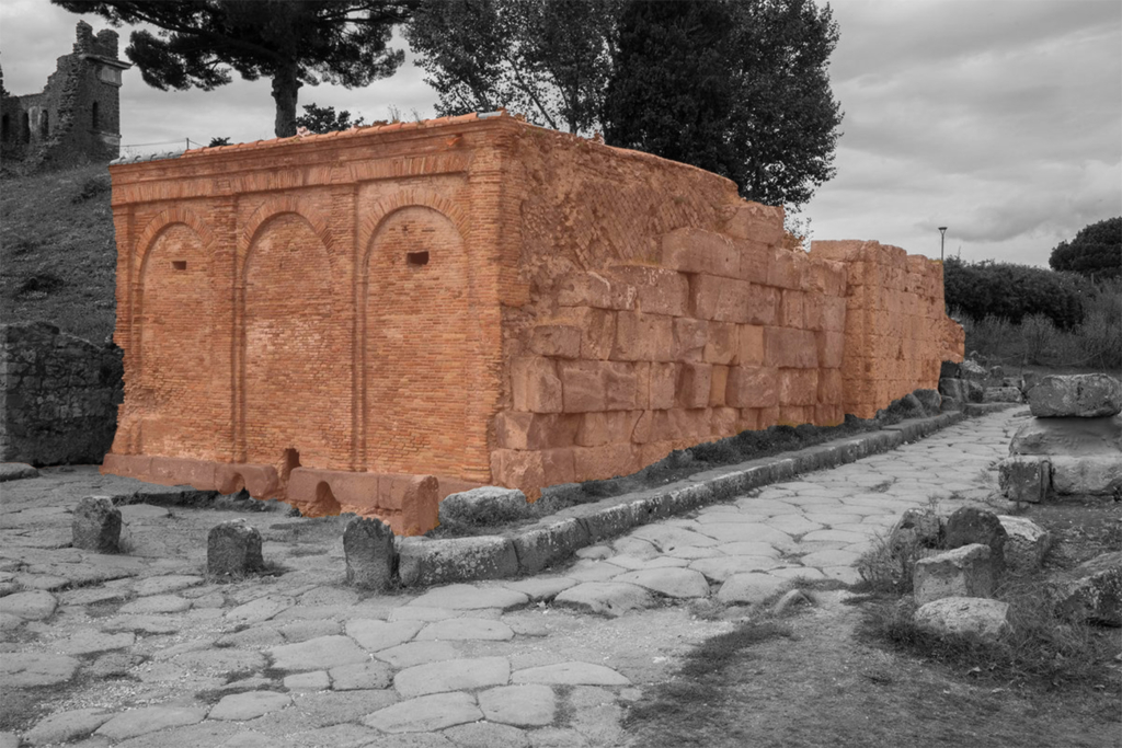
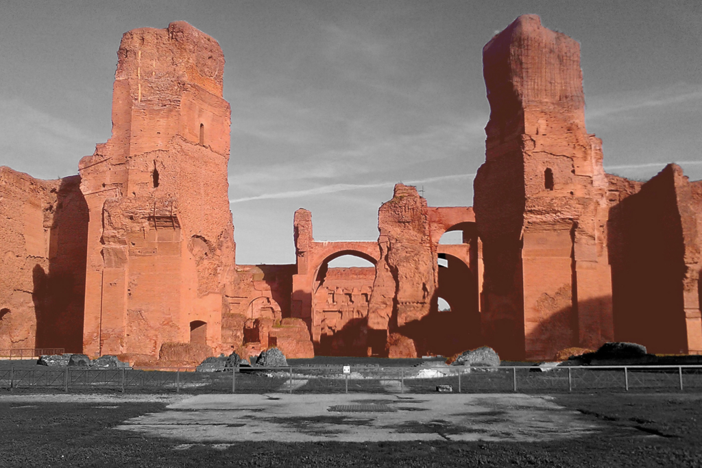
The aqueduct system consisted of several elements, of which the remains can still be seen. The piscina limaria, where sedimentation tanks were used to purify the water, the cisterna, cistern, which collected rainwater or excess water from the aqueducts for periods of drought. At the end of the aqueducts, there was the castellum aquae which distributed the water inside the city. The aqueducts were fundamental to provide drinking water to the city but also for other functions such as thermae, baths, that helped the well-being and health of citizens.

Circular Stories

The first thing to do to start the construction of an aqueduct was to find a source of water that was drinkable and at a certain height that could allow its exploitation through pressure. After the inspection of the water quality, long underground tunnels were built in which the water flowed. Furthermore, the purification of the water was also guaranteed by the porosity of the soil (mainly tuff) that filtered the rainwater.

Finally, the settling tank (piscina limaria) improved the water purification by collecting the debris at the bottom of the tank. The canal, or specus, was constructed to maintain a constant slope so as to overcome the differences in height the arches. Excess water from the aqueducts and rainwater was collected in the cisterns.

Once arrived in the city, the water was distributed through the castellum in three different directions: for public fountains, for baths, and for some privileged private houses. The water was also used to clean the streets, improving the sanitary quality of the city. Only then, the water was channelled into the sewer system and then ended up in the river which was organized with a system of grain mills.

The spatial representation of an aqueduct and the different functions that the water has before its final destination, the river.

Baoli (water stories)

Baoli
Stepwell

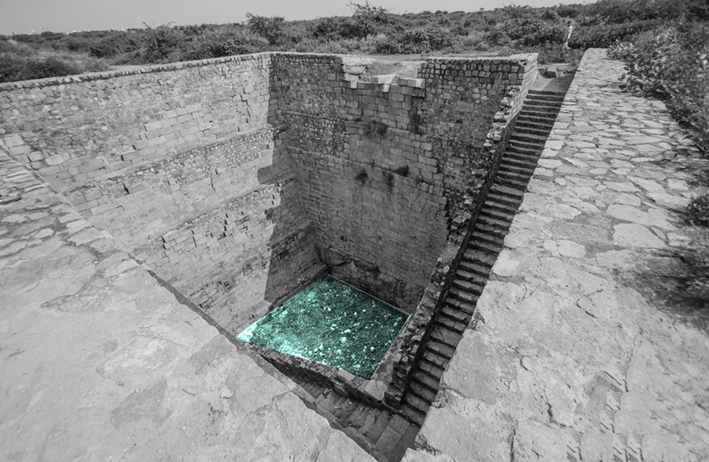
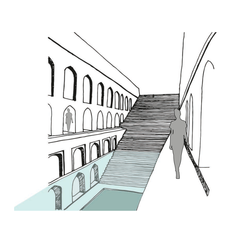
Rainwater and natural stormwater channels from Delhi ridge are stored in the ground and it is directly accessible to people by a flight of stairs. The narrow staircase is divided into three parts, which runs along the inner three walls of rectangular baoli.

  • Project Name: Delhi Sultanate Waterworks, Ancient network of water harvesting structures, Delhi, India
  • Climate: Overlap of humid subtropical and semi-arid
  • Year: 1206 A.D. – 1526 A.D.
  • Water type: Drinkable rainwater
  • Landscape type: Ridge landscape
  • Altitude: 220-230 m.a.s.l
  • Soil condition: Alluvium, Quartzitic ridge
  • Material: Delhi quartzite stone
  • Period: Fixed
  • Form: Surface
  • Use or function: Water harvesting

Nasone

Nasone
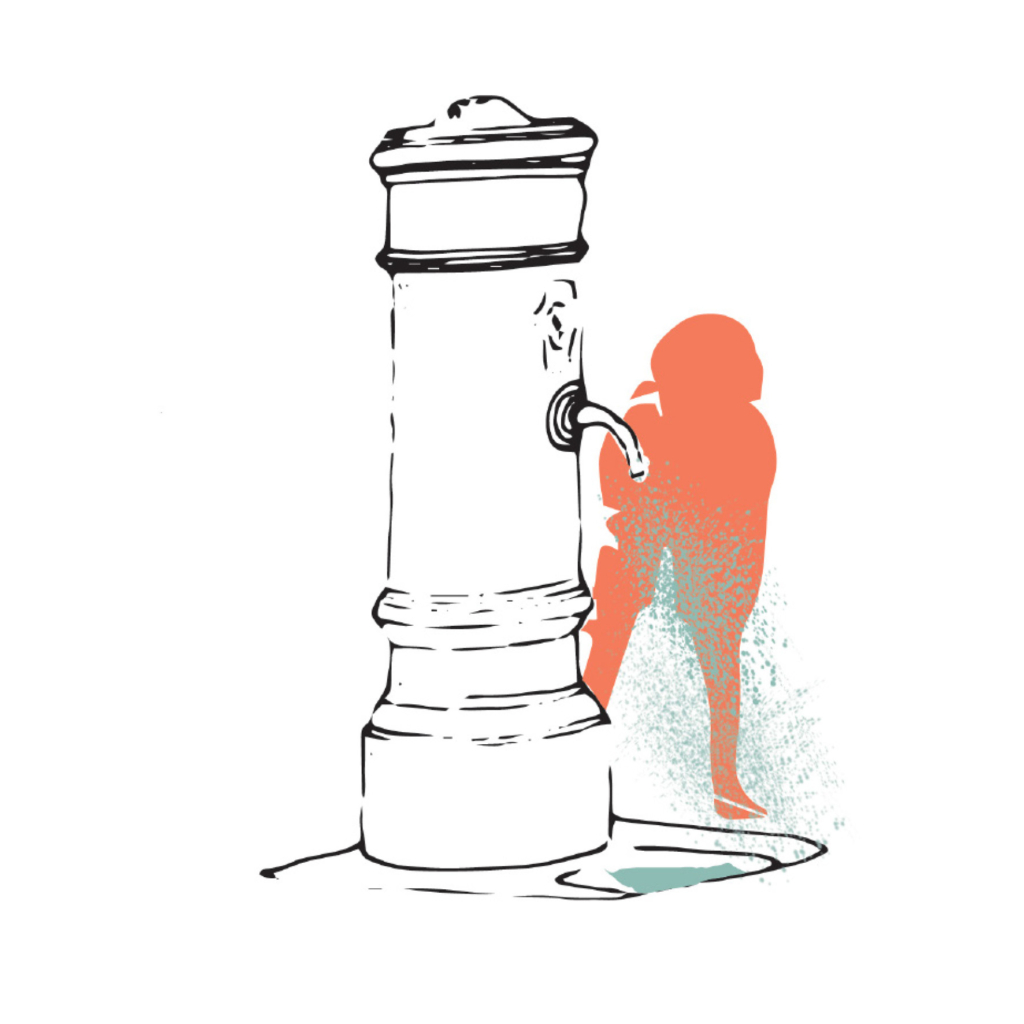
Freshwater drinking fountain

Literally the term Nasone means big nose. It is the typical roman freshwater drinking fountain. The city of Rome began installing nasoni around the 1870s to provide fresh water supplies for citizens; today there are still between 2500 and 2800 Nasoni in Rome.

  • Project Name: The Roman Aqueducts – Rome, Italy.
  • Climate: Temperate – Mediterranean Climate
  • Year: 1874
  • Water Type: Drinkable
  • Meaning: Fountains of contemporary Rome
  • Users: Citizens
  • Accessibility: Public
  • Materials: Cast iron
  • Temporality: Fixed
  • Form: Point
  • Use or function: Aside from the social-welfare benefits of supplying drinkable water to citizens, nasoni serve as needed ventilation valves for the Roman water-supply system.

Mostra d’acqua

Mostra d’acqua
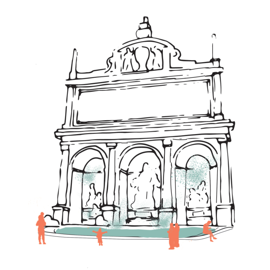
Water fountain

From Latin mostrare, to show, to reveal, to exhibit. It was the name for a large public fountain with monumental functions. Usually, they were the terminus of an aqueduct.

  • Project Name: The Roman Aqueducts, Rome, Italy
  • Climate: Temperate, Mediterranean Climate
  • Year: III B.C – I A.D. century
  • Water Type: Drinkable, freshwater
  • Landscape Type: Not relevant
  • Meaning: Representation, exhibition
  • Users: Citizens
  • Accessibility: Mainly public
  • Soil condition: Not relevant
  • Materials: Travertine and Carrara marble
  • Temporality: Fixed
  • Form: Point
  • Use or Functions: To drink, ornamental

Bund

Bund
Embankment

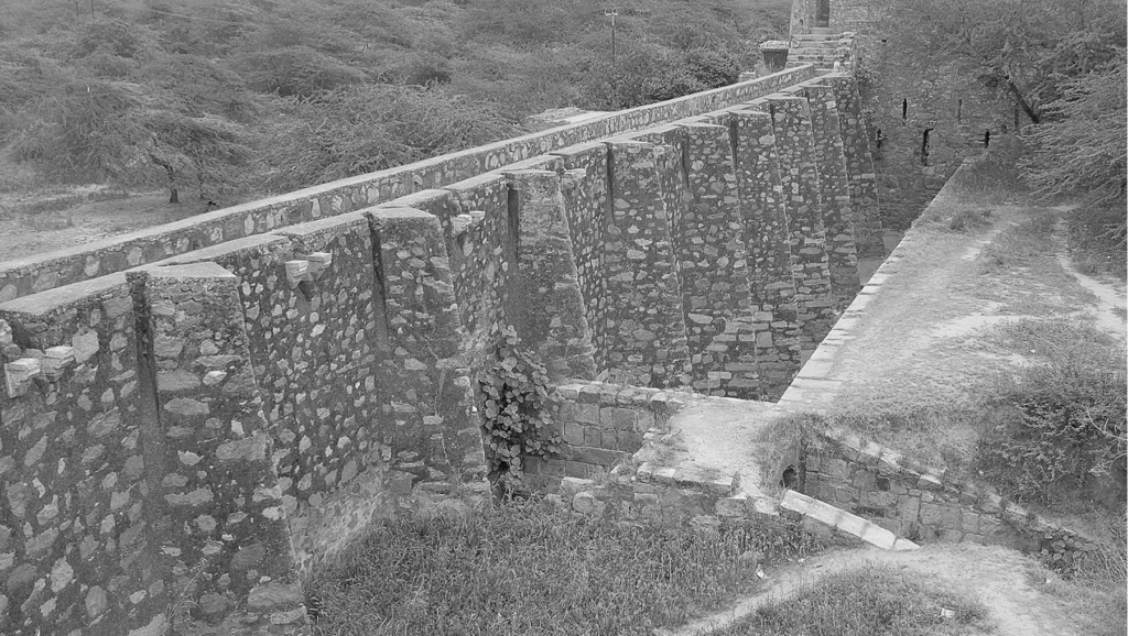
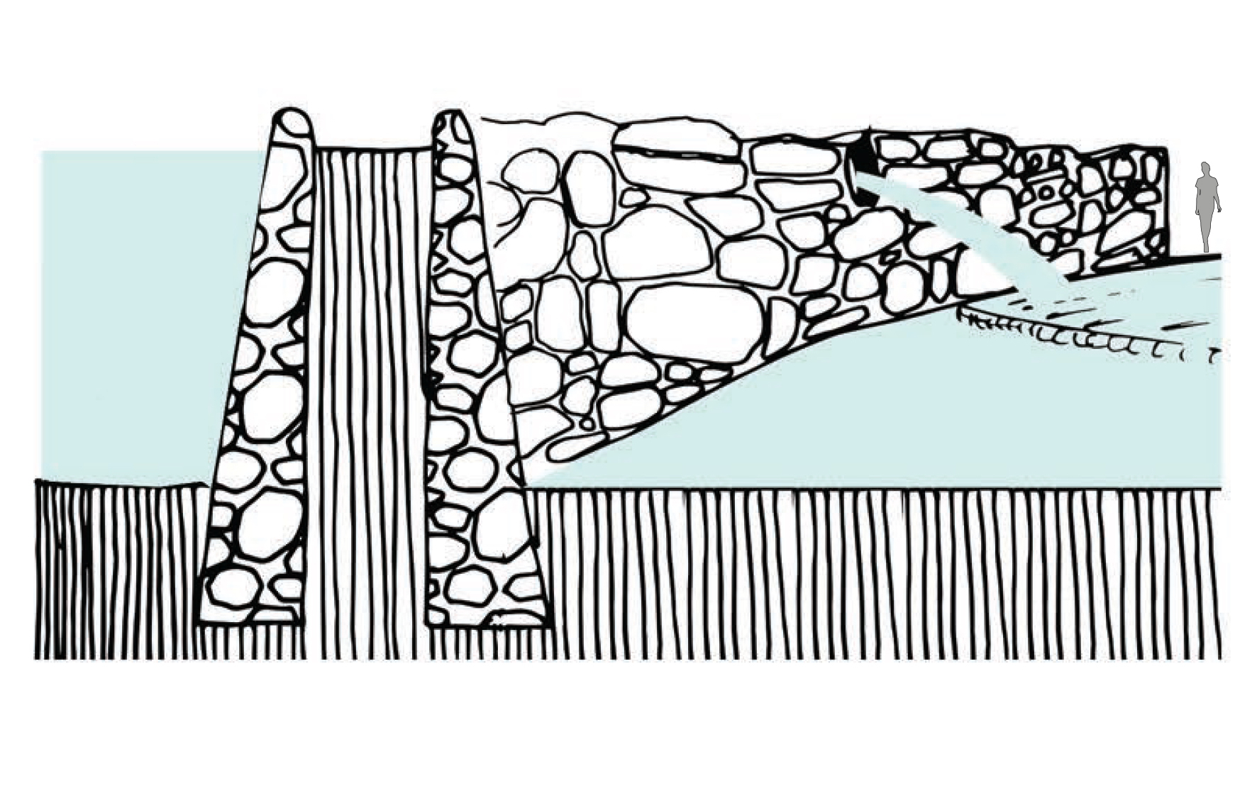
Water harvesting mud embankments restrain natural streams of stormwater runoff in its upper reaches and direct it for storage in hauz (lake) and baoli (stepwell).

  • Project Name: Delhi Sultanate Waterworks, Ancient network of water harvesting structures, Delhi, India
  • Climate: Overlap of humid subtropical and semi arid
  • Year: 1206 A.D. – 1526 A.D.
  • Water type: Drinkable rainwater
  • Landscape type: Ridge landscape
  • Altitude: 220-230 m.a.s.l
  • Soil condition: Alluvium, Quartzitic ridge
  • Material: Stone masonry
  • Period: Fixed
  • Form: Point
  • Use or function: Water directing

Baoli (water works)

Baoli
Stepwell

Rainwater and natural storm water channels from Delhi ridge is stored in ground and it is directly accessible to people by a flight of stairs. The narrow staircase is divided into three parts, which runs along inner three walls of rectangular baoli.

  • Project Name: Delhi Sultanate Waterworks, Ancient network of water harvesting struc-tures, Delhi, India
  • Climate: Overlap of humid subtropical and semi arid
  • Year: 1206 A.D. – 1526 A.D.
  • Water type: Drinkable rainwater
  • Landscape type: Ridge landscape
  • Altitude: 220-230 m.a.s.l
  • Soil condition: Alluvium, Quartzitic ridge
  • Material: Delhi quartzite stone
  • Period: Fixed
  • Form: Surface
  • Use or function: Water harvesting

Aqueduct

Aqueduct
“The Roman Aqueducts”, Rome, Italy

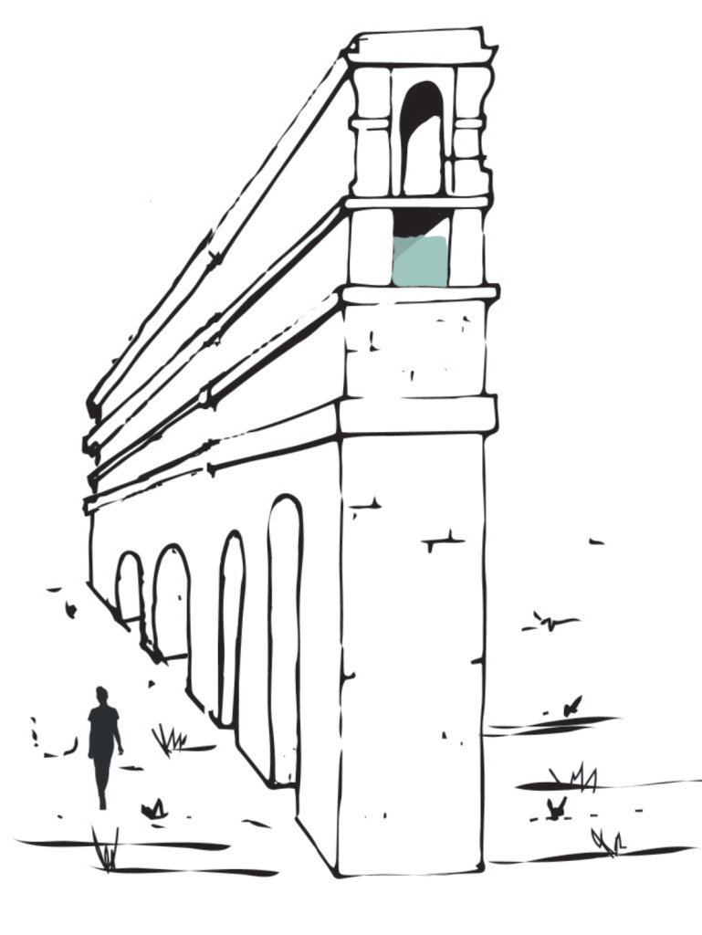
An artificial channel for conveying water. It was built underground and on embankments, according to the level, but also for great distances on long arcades.

  • Project Name: Roman Aqueducts, Rome, Italy
  • Climate: Temperate, Mediterranean Climate
  • Year: III century B.C – I A.D. century
  • Water Type: Drinkable, fresh water
  • Landscape Type: From the mountains to the city
  • Altitude: 400 – 20 m a.s.l.
  • Soil condition: Not relevant
  • Materials: Bricks and lime
  • Temporality: Fixed
  • Form: Network of line
  • Use or Functions: To bring drinkable water into the city

Hauz

Hauz
Lake

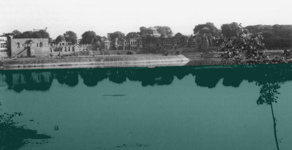
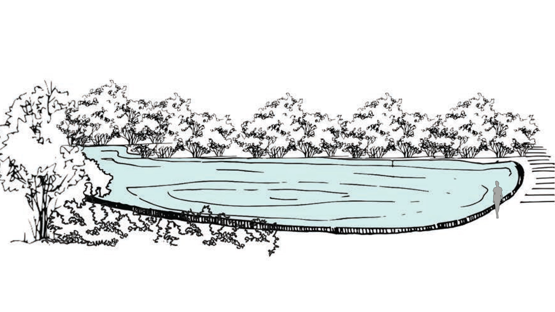
Water tanks which harvest rainwater and stormwater during monsoon season. Main function of the hauz was to collect rainwater over a large expanse of land.

  • Project Name: Delhi Sultanate Waterworks, Ancient network of water harvesting structures, Delhi, India
  • Climate: Overlap of humid subtropical and semi-arid
  • Year: 1206 A.D. – 1526 A.D.
  • Water type: Drinkable rainwater
  • Landscape type: Ridge landscape
  • Altitude: 220-230 m.a.s.l
  • Soil condition: Alluvium, Quartzitic ridge
  • Material: Excavated soil
  • Period: Fixed
  • Form: Surface
  • Use/ function: Water harvesting